Route 3 – De la Barca (Boat Route)

Hiking Trails
MTB Routes
Horse Trails
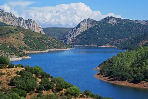
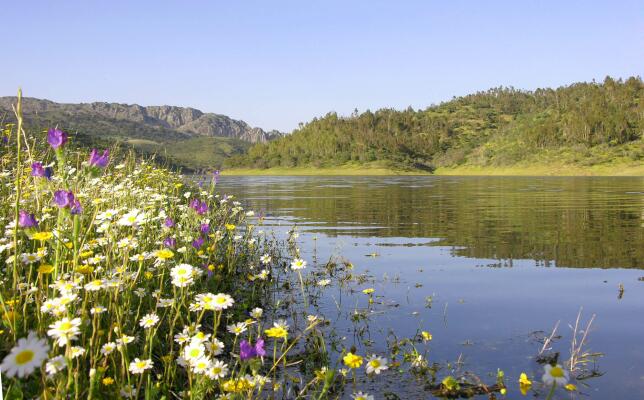
Heading in a south-easterly direction from Serradilla, the path crosses a flat landscape of holm oaks and meadows, which ends on the banks of the Tagus River.
Heading in a south-easterly direction from Serradilla, the path crosses a flat landscape of holm oaks and meadows, which ends on the banks of the Tagus River.
This easily accessible route features several points of interest:
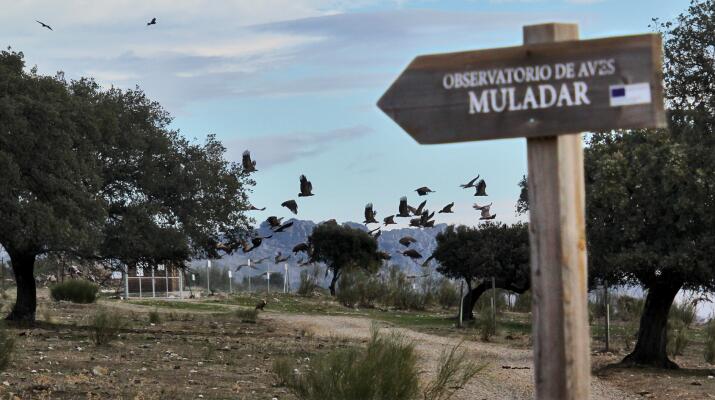
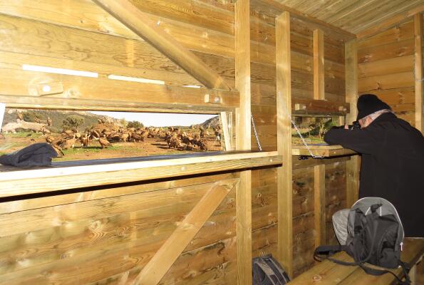
- Muladar: observation and photography of necrophagous birds.
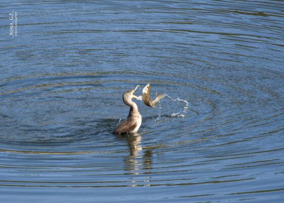
- Animal observatory in the "Charca Nueva de la Dehesa": observation of ducks, squirrels, waders and mammals living near aquatic environments.
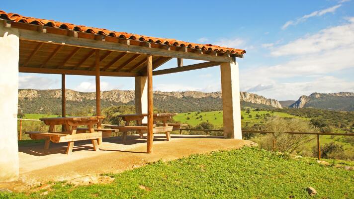
- Majada del Vasco: rest and picnic area.
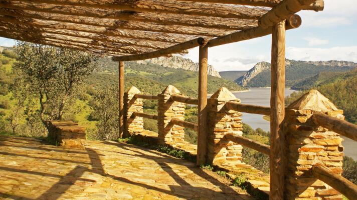
- Chorrerón Viewpoint and Las Taheñas Viewpoint: panoramic views.
HISTORY
The Ruta de la Barca dates back to the times when crossing the longest river in the Iberian Peninsula was achieved by means of wooden boats that allowed the people of Monfragüe to pass from one shore to the other – at the time an important factor for the flow of communication.
Fotos de la ruta
Download route
Serradilla
Tajo River
5.8 Km
1 h
40 min
Lineal route
Slopes (m.)
6
204
Difficulty