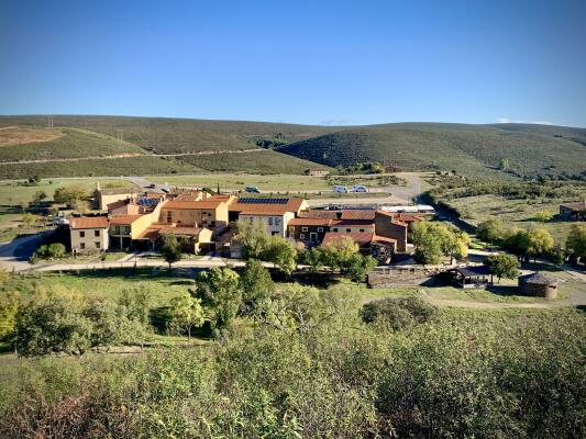
Villareal de San Carlos
This district, part of the municipality of Serradilla, was founded by Carlos III between 1758 and 1788 with the aim of monitoring the Monfragüe area where local bandits had focussed their criminal activities, finding refuge in the rugged mountains.
In their attacks, bandits frequented areas such as the Cardenal Bridge and the Serrana Pass, two strategic points along the Cañada Real Trujillana, the route connecting Plasencia and Trujillo, as these they were points of that could not be avoided and were it was difficult for victims to defend themselves.
Villarreal de San Carlos was created to guard and defend the area. A small military detachment was also stationed here.
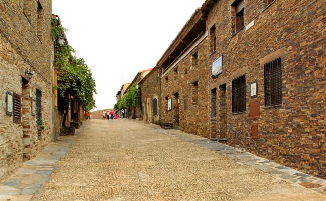
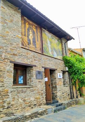
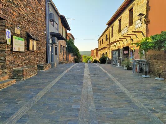
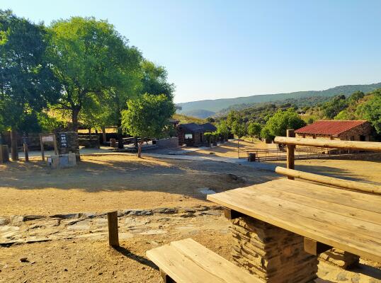
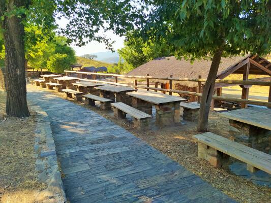
Today Villarreal de San Carlos has become the nerve centre of the Monfragüe National Park. As the only urban centre within its limits, it is an essential stop for visitors looking for tourist information offices, picnic areas, interpretation centres, accommodation and restaurants.
Most of the park's tourist routes start from Villarreal. Three of them, the brown, black and blue routes, link this district with Serradilla. They form part of the Monfragüe National Park Public Routes Network and are perfect for discovering the hidden secrets of the park in complete harmony and tranquillity.
Also starting from here is a route that leads us to the "Almez de Lugar Nuevo", located in what is known as the "Huerto del Hojaranzo" or Hojaranzo Garden. At more than 15 metres high and with a trunk circumference of 5 metres, this tree has been designated a “Unique Tree” due to its noble bearing.
You can find out more about these and other assets of the park in the Serradilla tourist office at the “Lugar Nuevo Interpretation Centre”.
Villareal
 Interactive map